Read inspiring New Zealand stories about innovative projects that use open data. You can also hear about the challenges, successes and benefits of initiatives to publish open data.
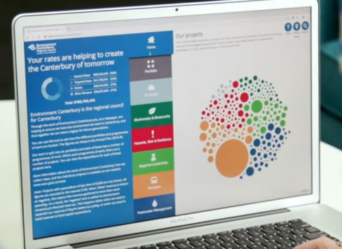
Environment Canterbury partnered with Orbica to create an online tool, opening up their rating data to engage with the public and show how funds are spent in the community.
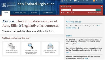
Providing access to legislation is a fundamental part of the PCO’s role – and in 2008 they launched the New Zealand Legislation website. The site provides free access to legislation, including up-to-date reprints of Acts and Legislative Instruments.
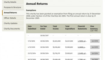
In 2011 Charities Services (then the Charities Commission) made advanced search functionality available for the Charities Register and licensed the data for re-use under a Creative Commons BY licence.
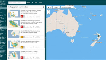
LINZ is provides charts and hydrographic services producing specialised nautical charts to aid safe navigation in New Zealand waters and certain areas of Antarctica and the South West Pacific.
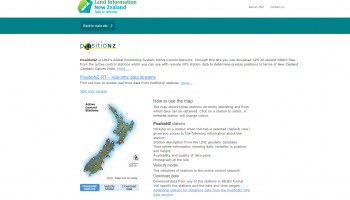
LINZ releases two forms of GNSS data from the PositioNZ network; static data and real-time data. The static data is used by surveyors to determine accurate positions once they have returned from the field, a technique called post-processing.
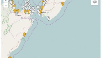
In May 2005, Environment Canterbury began releasing public transport data for re-use. The data includes route details, bus stop locations, scheduling details, as well as the real time bus estimated time of arrivals (ETAs).
In April 2010, WCC began licensing and releasing geospatial data for re-use. This includes aerial photos, historic maps, boundaries, contour lines, building footprints, utility networks, hazard information and locations of WCC facilities.
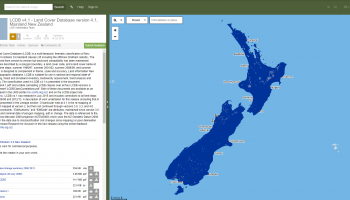
The Land Cover Database (LCDB), available to users of the Land Resource Information System (LRIS) portal offers environment data held by Landcare Research for re-use in GIS and mapping applications.
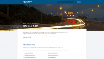
InfoConnect is an NZTA initiative to help ensure road users have access to timely and accurate road condition information.The ultimate aim of InfoConnect is to help empower road users to make their own travel choices and decisions.
Tier 1 statistics are New Zealand’s most important statistics, and are essential to help the Government, business, and members of the public to make informed decisions and monitor the state and progress of New Zealand.
The census is one of New Zealand’s most important data sources. Statistics NZ released aggregated, confidentialised data from the 2006 Census including information on age, ethnicity, income, workplace, dwelling size and other variables.